
Many, many years ago I marked out a giant Kiwi using tape measures and grids.
Now, thanks to my newly built RTK GPS base station, I decided to try it with GPS.
I first had to get my old kiwi diagram and convert it to vector format, then import it into QGIS, place, scale, rotate and then finally export it as an ESRI shape file for import into RTKPLOT (a component of RTKLIB)
")
(Grid squares are 5 metres)
I then fired up my RTK GPS unit, grabbed a can of spraypaint and started marking out the 50 metre wide bird.
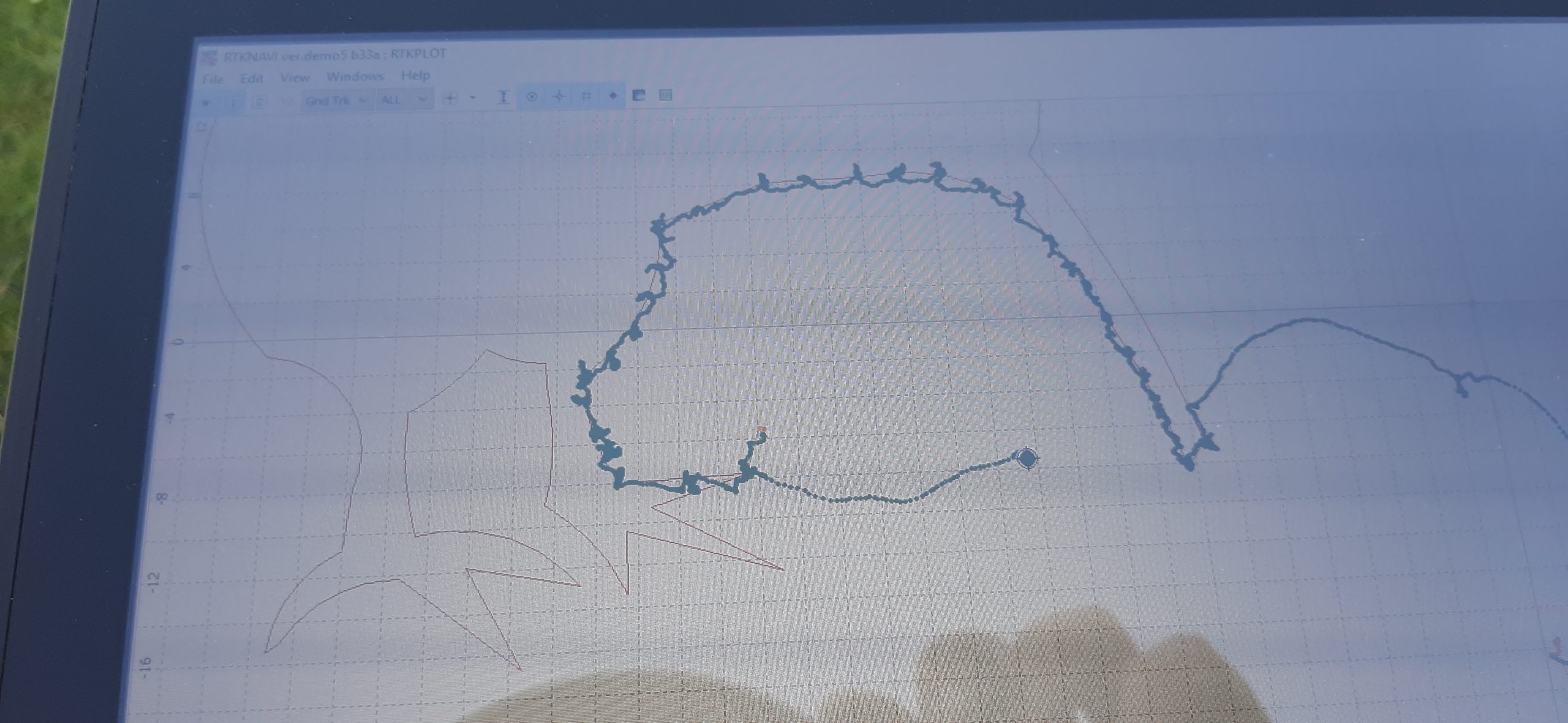
It was quite difficult walking the exact line. I found it much easier stepping away from the line, taking a few steps and then slowly approaching the line until I was in the exact location.
I continued until I had marked out the entire edge.
Next step is to start mowing the grass.The beauty of my GPS based markout is that I can let the grass grow over and then go back and mark out the exact same location in the future.

